
Open in full screen mode A hydrologist specifies that the public must be interested in the snowpack, because it has an impact on recreational activities in winter, but also on the recreational use of rivers and lakes in spring. (Archive photo) Radio-Canada Voice synthesis, based on artificial intelligence, makes it possible to generate spoken text from a written text. The British Columbia River Prediction Center has released its latest snowpack report. As of January 1, this was “extremely low” and was only 56% of normal, but there are at least three months left for the situation to change. Normal, explains Jonathan Boyd, hydrologist at the Center, is calculated on data collected from 1991 to 2020. At the same time last year, the snowpack was 82% of normal. This season, fifteen snow stations measured an unprecedented low level, including five in the Fraser Valley. Vancouver Island is only 39% of normal and the South Coast is 36%. Some places have not yet received snow, which is not necessarily very common at this time of year, explains the hydrologist. Jonathan Boyd says the overall snowpack level is the lowest [he's] seen for a January 1 report, at least since the 1980s. Having such a low snowpack across so many areas in the southern part of the province is really something we haven't seen this extreme. A quote from Jonathan Boyd, hydrologist, British Columbia River Forecast Center Loading ELSEWHERE ON INFO: COVID-19 and the “storm of respiratory viruses” The hydrologist nevertheless notes that certain regions can fluctuate. An example is Vancouver Island which is 39% of normal this year. In 2014 it was 7% as of January 1 and in 2015 it was 28%. The British Columbia River Prediction Center says overall December temperatures were extremely warm, 1.5 to 8 degrees Celsius above seasonal norms. < p class="StyledBodyHtmlParagraph-sc-48221190-4 hnvfyV">The lack of snow currently means a lower risk of spring flooding, particularly in the Interior, but it could lead to an increased risk of wildfires. forest or drought […] earlier and which could last longer during the summer. John Richardson, a professor in the department of forest and conservation sciences at the University of British Columbia, said the report comes as no surprise given the warm temperatures and El Niño weather phenomenon. While there is no need to panic, he said, the province must nevertheless be prepared to store water and think about long-term solutions. Shallow soils and a lack of groundwater pose a problem for British Columbia, which relies heavily on snowpack, says John Richardson. The British Columbia River Prediction Center says there are still at least three months left for snowfall to rebalance the situation. At this point, it's just an abnormal year; looking at the last few years, we have been in a rather good position with the snow cover, specifies Jonathan Boyd. The hydrologist specifies that the public must be interested in the snowpack, because it has an impact on winter recreational activities, but also on the recreational use of rivers and lakes in the spring. However, it all still depends on future weather conditions. Jonathan Boyd adds that the last time the snowpack was this low, on April 1, it t was 2019. The province had prepared for a major drought for the summer, and then it turned out to be one of the wettest summers we've ever had [in British Columbia]. British] and there have been no drought problems. The next report will be published in early February. With information fromYvette Brend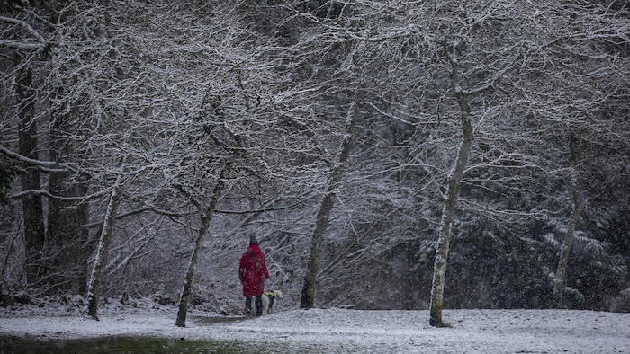
COVID-19 and the “respiratory virus storm”

By Natasha Kumar
Natasha Kumar has been a reporter on the news desk since 2018. Before that she wrote about young adolescence and family dynamics for Styles and was the legal affairs correspondent for the Metro desk. Before joining The Times Hub, Natasha Kumar worked as a staff writer at the Village Voice and a freelancer for Newsday, The Wall Street Journal, GQ and Mirabella. To get in touch, contact me through my natasha@thetimeshub.in 1-800-268-7116